Photogrammetry
Value-added photogrammetry services include:
● orthorectification of space images;
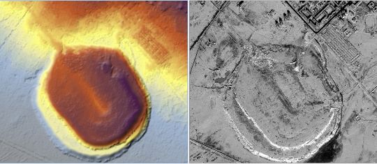
● Creation of a digital elevation model;
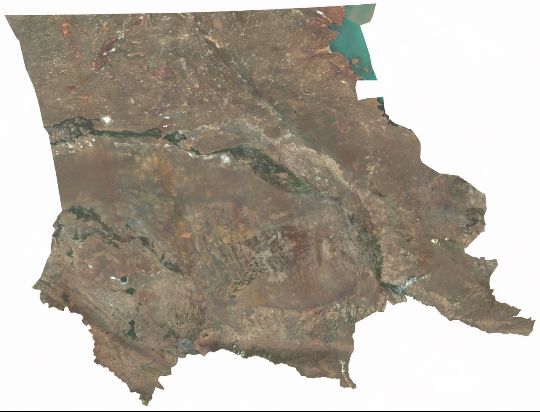
● creation of seamless mosaics.
ORTHORECTIFICATION OF SATELLITE IMAGERY (PRODUCT L3)
Product which is an ortho-rectified image using L4 or other DEM products. The product is intended for thematic mapping projects of vast territories (region, province). It may also be used for updating medium- and small-scale topographic maps. Creation of regional and oblast GIS. It is also possible to use L3 products for high accuracy mapping in the presence of planimetric justifications.
Software used in photogrammetric processing:
- Pixel Factory;
- Erdas Imagine.
The following reference data are used for orthorectification of satellite images:
- Ground Control Planners (GCP) obtained from the NWSN Centre or provided by the Client, Orthomosaic + DEM are also used for automatic GCP generation;
- DEM for the correction of distortion caused by unevenness in the Earth's surface, created from stereo pairs of KazEOSat-1 imagery, or provided by the customer;
- SRTM 1arcsec from open sources (pixel size 30 m). Naqui dolorem ipsum quia dolor sit amet, consectetur, adipisci velit, sed quia quia non numquam eius modi tempora incidunt ut labore et dolore magnam aliquam quaerat voluptatem.


